Sustainability

Insights 02.01.2024
Key Considerations for Going Electric


Jackson Reid
Demetrios Stamatakis

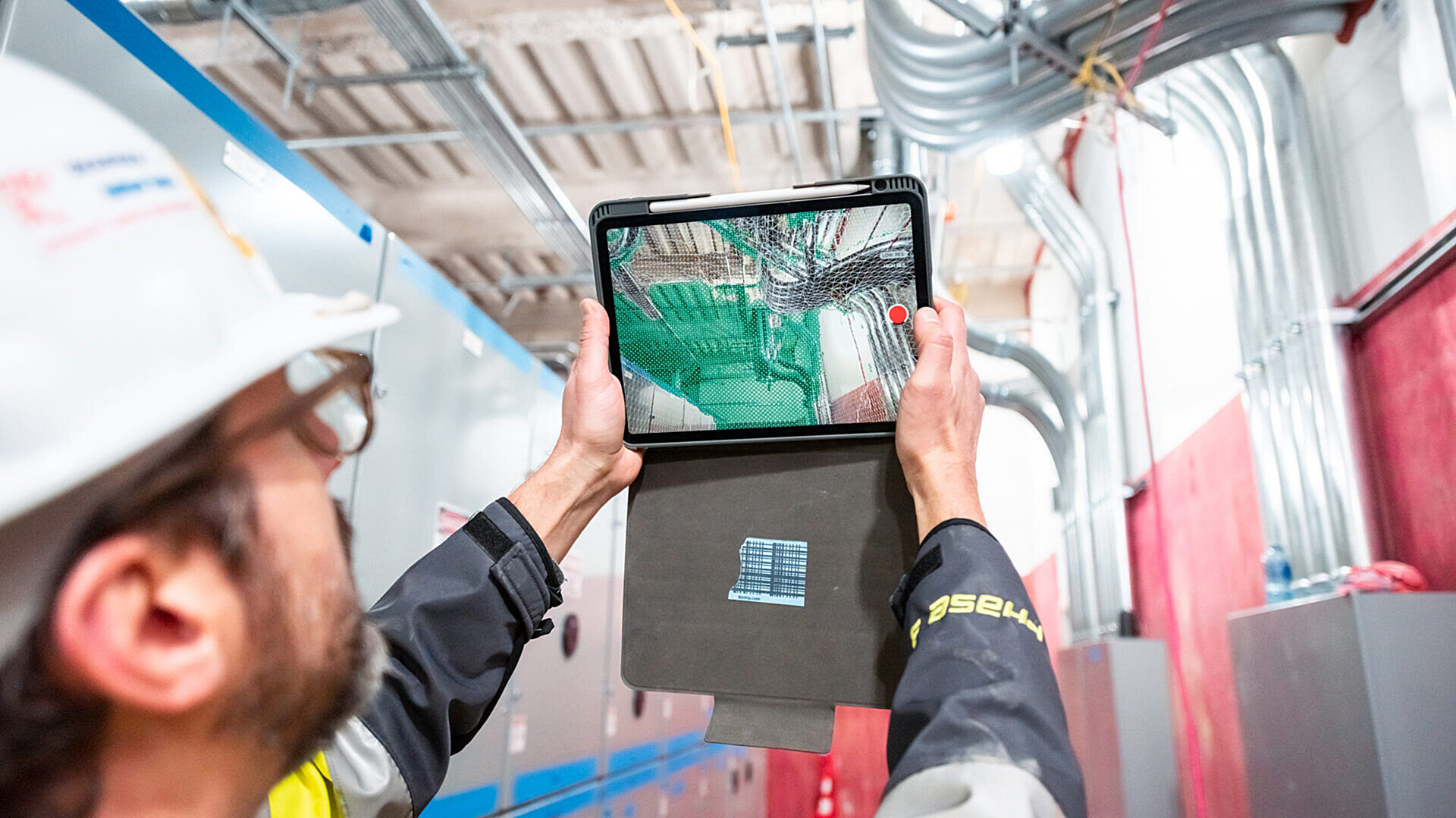
With new mobile tech, LiDAR* point cloud scans that traditionally require special equipment and several hours to generate and send now take minutes using an iPhone or iPad. With a wave of your phone and click of a button, you can send navigable 3D to your collaborators' phones and integrate the new scans with your model
If scans are this easy, what can you do with them?
Would your design partner like a photorealistic walk-through for quick review? Would a foreman like to communicate a field condition or track progress—ASAP? Maybe create a measurable scan after opening walls?
We're testing some of the latest mobile applications at GLY—looking at function and value to our projects and partners. Some factors include accuracy, workflows, device needs, ease of sharing, and integration with existing software.
Building Upon Tried + True Processes
3D point clouds are an invaluable tool on nearly every GLY project and are typically generated using FARO terrestrial (ground-based) scanners, operated by our in-house survey and layout team. It's a surprisingly speedy process for spaces that are thousands of square feet in size.
These scans are still necessary at major junctures, but for on-the-spot, real-time analysis of minute details, the mobile scans can offer a leap forward in potential workflows, communication, and project outcomes.
New applications are coming fast. Apple has helped with a set of app-developer tools [an API] to leverage their platforms' capabilities.
Manifold [formerly OrigamiXR] is one example. GLY is beta testing their scans to look and act like the traditional variety before they go to market. It's compatible with Revit, like most candidates.
Others include 3D Scanner App [free on App Store], Sitescape Pro, and Openspace.ai [requires subscription]. They're all fast and integrate with existing software. The primary hurdle is diminished accuracy, particularly over large spaces.
We're impressed so far.
If you'd like to hear more, please reach out: 425.999.5629 or adam.cisler@gly.com.
*LiDAR = light detection and ranging, a type of scanning technology.
A point cloud scan uses LiDAR technology to replicate reality by using millions of colored dots to represent measurement points. The entire process [scan, generate, save to cloud] for surface area of this size takes ~5 minutes.
A mesh scan uses LiDAR technology to create a 3D model. Unlike a point cloud scan, which uses colored points or dots to replicate reality, a mesh builds the model using a collection of polygons that contain information on materials and textures.
Tags: